Article
Your CRM doesn’t remember why you passed on the deal
Land teams lose judgment in chat and spreadsheets. Here’s how GIS-backed parcel intelligence keeps deal memory inside the firm without replacing your CRM.
Most land and acquisition teams do not lose deals because they lack intuition. They lose compounding judgment.
A parcel gets screened. Someone checks the assessor page, toggles zoning and future land use, glances at footprints and nearby construction, drops a note in chat, and moves on. Months later the same address reappears in a broker list. The firm has no durable record of why it passed, what evidence mattered, or whether the planning context has changed. The CRM may show a contact or a stage. It rarely shows the spatial reasoning that actually drove the call.
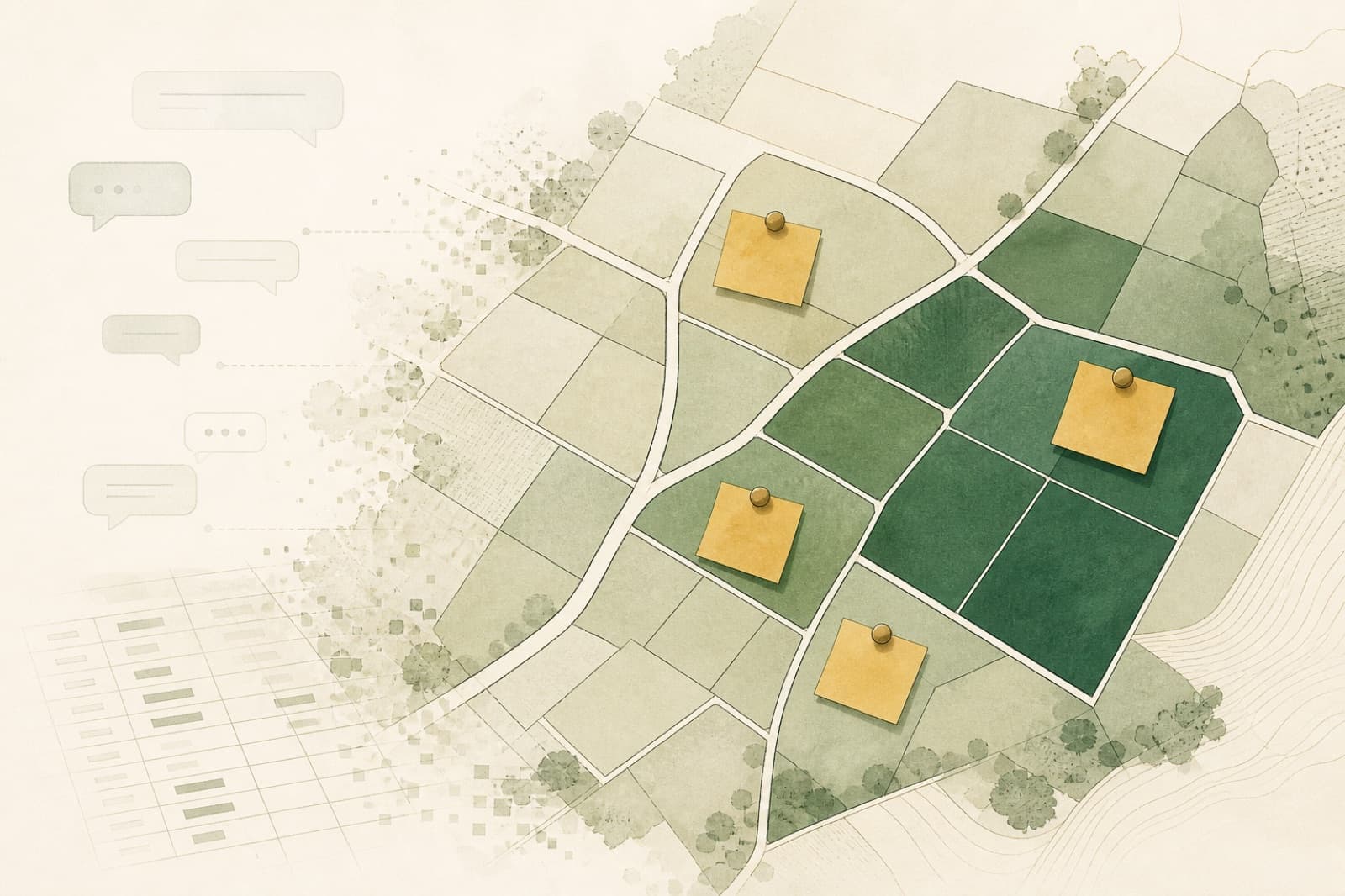
I recently worked with a land development group to build an in-house parcel intelligence stack for exactly this class of problem: fragmented underwriting, slow first reads, and deal memory that lived in people instead of systems. What follows is the problem we solved, the product shape we used, and the principle I want more real-estate operators to take seriously: GIS is not a map layer on top of the business. It is the foundation of institutional memory.
The problem that showed up in the business
The team evaluated land for acquisition and development upside. Day to day, work stretched across county assessor portals, municipal GIS layers, listing pipelines, spreadsheets, and side notes. Capable analysts. Weak system.
Five pains kept repeating:
- Slow underwriting — Turning an inbound list into a defensible first read took hours of tab-hopping, not minutes.
- Inconsistent screens — Different people applied different mental models. Signal strength was hard to compare across deals.
- No institutional memory — Advance / kill reasons lived in chat or someone’s head.
- Expensive repeat labor — The same spatial checks were re-done deal after deal.
- CRM disconnect — Exports were ad hoc. There was no clean path from “GIS truth + analyst judgment” into the sales system of record.
They did not need a public property portal. They did not need a black-box “auto-buy” model. They needed an internal opportunity discovery and underwriting platform: automate the repeatable spatial work, keep analysts in control, and make judgment durable.
What we built (without turning CRM into GIS)
The product bet was simple: put parcel truth and opportunity context on every relevant record, then let humans underwrite, annotate, and hand cleanly into CRM.
At a high level the system does five jobs:
- Ingest public parcel and planning data into a stable internal model (parcels, ownership context, zoning, future land use, building footprints, roads, and related planning layers).
- Derive opportunity signals and confidence labels ahead of click time, so filters stay fast and analysts are not waiting on multi-table GIS joins in the browser.
- Support pipeline underwriting — import a list of parcel IDs, review map + signal table, open a parcel report, capture notes and lifecycle, export for offline review.
- Support inventory discovery — filter the wider jurisdiction by signal strength, save reusable views, and return to the same cuts without rebuilding queries.
- Close the learning loop — status, notes, and rejection reasons live on the parcel; CRM remains the sales system of record.
Architecture followed the constraint, not a stack fashion: heavy spatial work stays next to PostGIS; the web app is for discovery, reports, auth, and export. Context maps can lean on publisher map services for basemap and overlay display. You do not need a self-hosted tile farm to get operational value.
I am intentionally not publishing proprietary signal formulas, scoring thresholds, client-specific schemas, or market-identifying detail. Those belong to the operator. The reusable lesson is the system pattern.
Institutional memory is a product feature
If you only automate “pull the layers faster,” you still lose the firm’s judgment. The durable upgrade is attaching human decisions to spatial evidence.
On each parcel, the platform needed a light lifecycle the team would actually use:
- Status and priority (where this sits in the pipeline)
- Source (how it entered: inbound list, discovery view, broker feed)
- Notes (what an analyst saw that the signal table cannot say alone)
- Rejection / pass reasons (why it died, in language the next analyst can reuse)
That sounds obvious. Most teams still store it in Slack threads and spreadsheet columns that never rejoin the map.
Two design rules mattered:
Rank signals. Don’t hide inventory. Confidence labels help people prioritize. They should not silently delete parcels from consideration. Analysts stay accountable; automation accelerates comparison.
Refresh GIS without erasing people. When public layers update on a monthly (or similar) cadence, derived spatial fields can be overwritten. Notes, status, and rejection reasons must survive. If a re-import wipes judgment, the team stops trusting the system and returns to chat.
Platform to CRM without a turf war
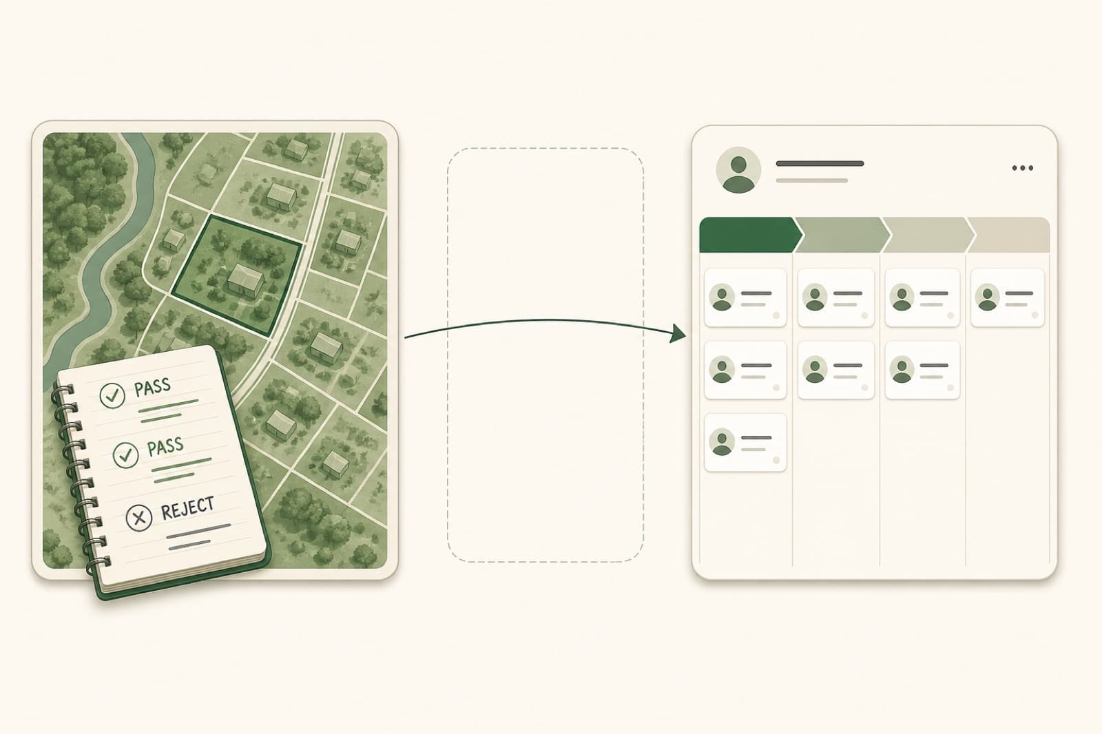
CRM is usually where relationships, outreach, and commercial stage live. GIS-backed underwriting is where parcel evidence and screening judgment live. Collapsing both into one tool is how projects bloat.
The healthier contract:
| System | Owns |
|---|---|
| Parcel intelligence platform | Spatial truth, opportunity context, underwriting notes, pass reasons, discovery views |
| CRM | Contacts, sequences, commercial stage, team accountability for chase |
Handoff can start simple: structured CSV/XLSX export with stable parcel identifiers, status, priority, and rejection taxonomy. Later, a scheduled sync can stage the same fields into CRM custom properties. The point is continuity, not replacing sales software with a map.
When the same parcel returns six months later, the firm should answer in minutes: Did we see this? Why did we pass? What changed in planning context since then? That is data-centric land development. Everything else is nostalgia for heroic analysts.
What changed for the team
Directional outcomes matched the original pains:
| Before | After |
|---|---|
| Hours of assessor + GIS tab-hopping per list | Minutes to an underwriting-ready map, table, and report |
| Spatial checks reinvented per deal | Automated refresh of signals across the inventory |
| Knowledge trapped in individuals | Shared notes, status, and rejection reasons on the parcel |
| Ad-hoc copy-paste into CRM | Structured export and a clear path to CRM handoff |
| Engineering interrupted for “pull a cut of…” | Analysts self-serve filters, saved views, and exports |
Cost savings show up as less analyst time per screened parcel, fewer ad-hoc GIS interrupts to engineering, and avoided spend on infrastructure you do not need on day one. The strategic win is quieter: the firm starts learning as a firm.
This pattern sits in the same family of work as the PropTech neighborhood intelligence and geospatial marketplace projects — map-first systems where operators need truth, not another dashboard.
The thought I want land groups to plant
If your competitive edge is “we know this market,” but that knowledge only exists in senior heads, you do not have an edge. You have a retention risk.
A more durable posture:
- Treat public GIS and assessor data as core infrastructure, not occasional research.
- Automate repeatable spatial checks so humans spend time on judgment, negotiation, and local nuance.
- Store decisions next to parcels, not only next to contacts.
- Keep CRM as CRM — and make sure GIS-backed truth can reach it cleanly.
- Design for the next market early with stable internal layer models, so expansion is ingest and configuration, not a greenfield rebuild.
Parcel intelligence is not about replacing land judgment with a score. It is about making judgment faster to form, easier to compare, and impossible to forget.
If you are a land or real-estate operator still screening opportunity inventory across portals, spreadsheets, and chat, the first upgrade is not another dashboard. It is a GIS foundation that remembers what your team already learned.
Curious how this kind of system gets shaped in practice? Browse more writing or get in touch.